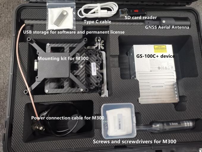
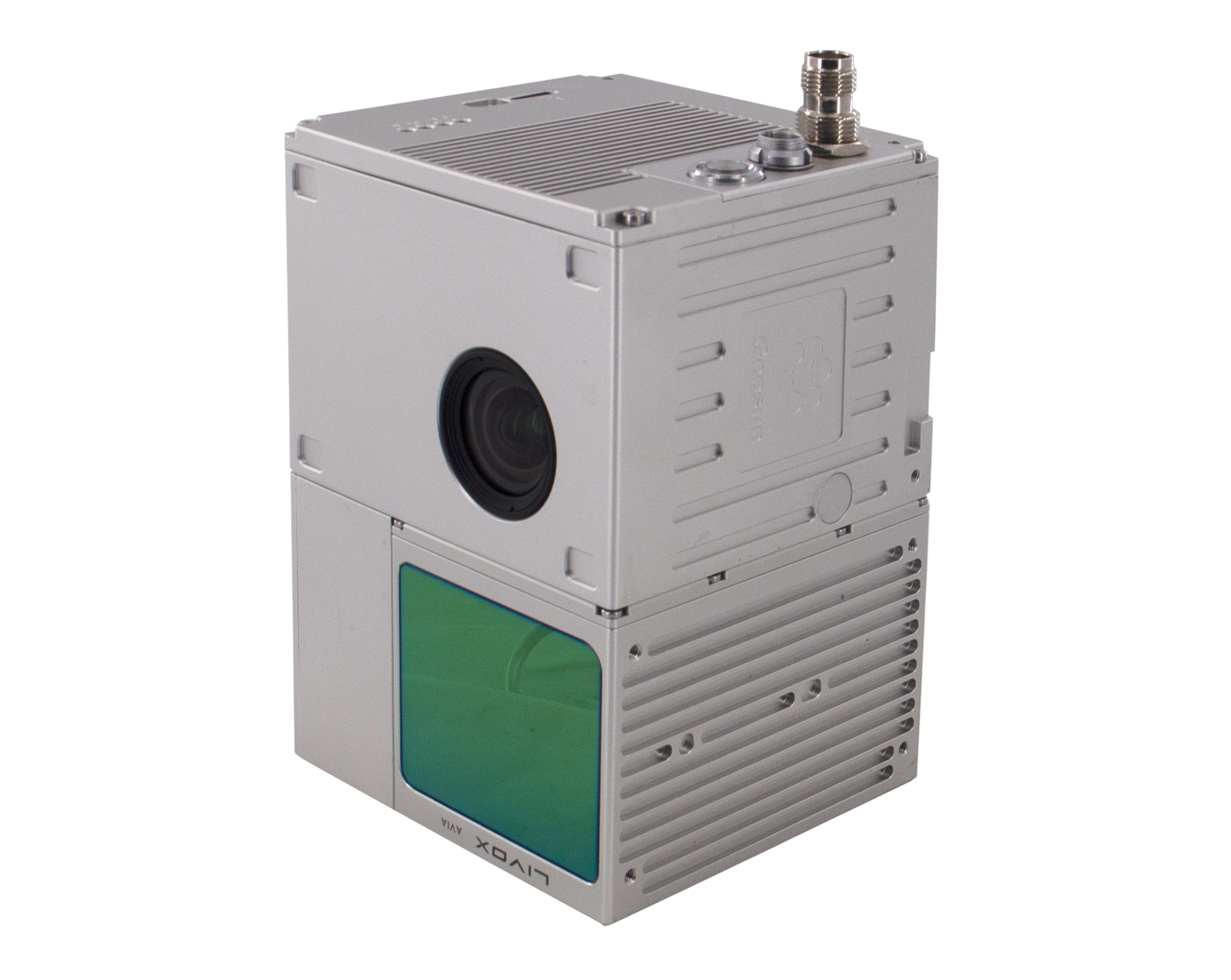
<img src="https://civilerp.civilshop.gr/uploads/productimages/2023-12-15-11-22-50Zps110961009-university_cooperation_lidar_drone_scanner_geosun_gs_100c_high_precision_imu_colour.jpg">

Specification of UAV LiDAR Scanning System
| uav LiDAR scanning system gAirHawk GS-100C+ | ||
| Item Name | System Parameter | |
|
Parameter | Weight | 1025g |
| Measuring accuracy | Less than 10 cm (110 m AGL) | |
| Power range | 12V~16V | |
| Working temperature | -20℃~+55℃ | |
| Consumption | Average 20W | |
| Support Platform | Multi Rotor, VTOL Fixed Wing | |
| Storage | 64 GB storage, maximum support 128GB TF card | |
| Lidar Unit
| Laser Model | Livox Avia |
| Measuring Range | 190m@10% Reflectivity | |
| Laser class | 905nm Class1 (IEC 60825-1:2014) | |
| Laser line number | Equivalent to 64-beam | |
| Mix. range | 0.3 M | |
| Range Precision | 2 cm | |
| data | Triple echo, 720,000 Points/Sec | |
| FOV | 70° the circular view | |
| POS Unit | Update frequency | 200HZ |
| Heading accuracy | 0.040° | |
| Pitch accuracy | 0.015° | |
| Rolling accuracy | 0.015° | |
| Position accuracy | 0.02 - 0.05m | |
| GNSS signal type | GPSL1/L2/L5 GLONASSL1/L2 BDS B1/B2/B3 GAL E1/E5a/5b | |
| Pre-processing software | POS software | Output information: position, speed, attitude |
| Point cloud software | Output point cloud data format: LAS format, custom TXT format | |
| Built-in Camera | FOV | 83 Degree |
| Effective Pixel | 26 Mega Pixel | |
| Focal Lenght(mm) | 16 | |
| Ακρίβεια | ±2 cm RTK |
| Συχνότητες GNSS | GPS L1/L2, GLONASS L1/L2, BeiDou B1/B2, Galileo E1/E5b |
| Ταχύτητα ενημέρωσης | 10 Hz |
| Λειτουργική θερμοκρασία | -40°C έως +70°C |
| Βαθμός προστασίας | IP67 |
| Τροφοδοσία | 12V DC |
| Εγγύηση | 2 χρόνια |
Άλλα προϊόντα που μπορεί να σας ενδιαφέρουν
Επικοινωνήστε μαζί μας για περισσότερες πληροφορίες και προσφορά.